

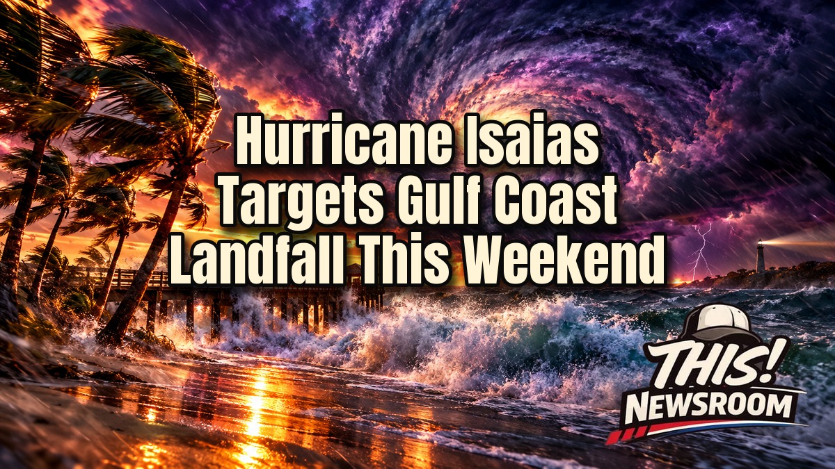
Hurricane Isaias is bearing down on the northern Gulf Coast, and the clock is ticking. In fact, the first Atlantic hurricane of 2026 is forecast to make landfall late Friday or early Saturday, somewhere between Mississippi and the western Florida Panhandle.
Isaias strengthened from a tropical storm late Wednesday, according to CBS News. By the 5 a.m. ET Thursday advisory, its maximum sustained winds had climbed to 80 mph, per CNN’s live coverage. As we reported earlier, the system began as Invest 92L and its uncertain Gulf track.
Where Hurricane Isaias Is Headed
Forecasters expect Isaias to reach Category 2 strength over the Gulf on Thursday. It could then peak overnight near Category 3, which counts as a major hurricane. Wind shear should weaken it some before landfall, but it is still expected to arrive as a large and dangerous storm.
The hurricane warning runs from Ocean Springs, Mississippi, across Alabama to the Bay/Gulf County line in Florida. Meanwhile, a storm surge warning stretches from the mouth of the Mississippi River to Steinhatchee, Florida, according to The Weather Channel. A surge watch reaches south to Yankeetown.
The exact landfall spot is still not settled. Models show it coming ashore anywhere from eastern Mississippi to the western Panhandle. Peak intensity is uncertain too, because some late Wednesday model runs lowered the forecast peak.
Storm Surge, Rain, and Tornadoes From the Gulf Coast Storm
Forecasters are warning about feet of storm surge, up to 10 inches of rain, tornadoes, and destructive winds. The National Hurricane Center estimates surge could reach 7 feet in parts of Florida and 5 feet in Mississippi. However, that only happens if the peak surge lines up with high tide.
Tropical-storm-force winds could reach the coast by midday Friday. Then hurricane conditions should follow near and just inland of landfall late that day.
NHC Director Michael Brennan did not mince words. “We’re expecting multiple dangerous, life-threatening impacts along portions of the northern Gulf Coast beginning Friday and continuing into the weekend,” he said in a Wednesday video briefing, as reported by OPB and the AP.
Emergency Declarations and Evacuations
As a result, states are moving fast. Florida Gov. Ron DeSantis declared a state of emergency for more than two dozen counties. Likewise, Alabama Gov. Kay Ivey did the same for 40 counties. Officials have reported mandatory evacuations and school closures in parts of Florida, and FOX Weather says evacuation orders are expanding across Gulf cities. One Alabama beach city has already canceled a weekend festival.
Residents in the warning areas should follow local emergency officials and check the latest NHC advisory. After all, landfall details for Hurricane Isaias will keep shifting until the storm is on the doorstep.
Why the First Atlantic Hurricane Arrived So Late
Isaias arrives after an unusually quiet Atlantic season, much like the fizzled Tropical Storm Dolly earlier in the year. It formed more than four months in and nearly tied the 121-year-old record for the latest first hurricane, which dates to Oct. 8, 1905, per NBC News. FOX Weather ties the slow start to wind shear tied to El Ni\u00f1o.
The storm grew out of Tropical Depression Nine on Wednesday. For the record, meteorologists say the name is pronounced ees-ah-EE-ahs.
Oil, Gas, and Saturday Football
The Gulf’s energy industry is squarely in the path. For example, an Earth Science Associates model estimates the storm could cost about 11.2 million barrels of production over its duration, according to CNBC. Some Gulf wells have already paused production. That could squeeze inventories, and it comes just as the Strategic Petroleum Reserve sits at its lowest level since 1983. Prices at the pump could feel the pressure.
The football calendar may feel it, too. Saturday’s showdown in Tuscaloosa between No. 2 Georgia and No. 6 Alabama could see disruptions because of Hurricane Isaias. President Trump is planning to attend, per CNN.
What Happens Next as Isaias Moves Inland
Friday brings the first tropical-storm winds, with hurricane conditions and surge arriving late in the day. Landfall should follow late Friday or early Saturday. By Sunday, forecasters expect Isaias to move inland and spread heavy rain across the East. Rain could reach as far north as the Tennessee Valley and the Carolinas.
Still, the track and strength can change. Check NHC advisories for the latest on Hurricane Isaias, and do not wait for the next update to get ready.